Үйл ажиллагаа
SERVICES
Our company provides a wide range of professional services in the field of geodesy and cartography. We carry out high-precision surveying and mapping жұмыстар across infrastructure sectors such as mining, construction, roads and railways, and energy, using modern equipment and advanced technology.
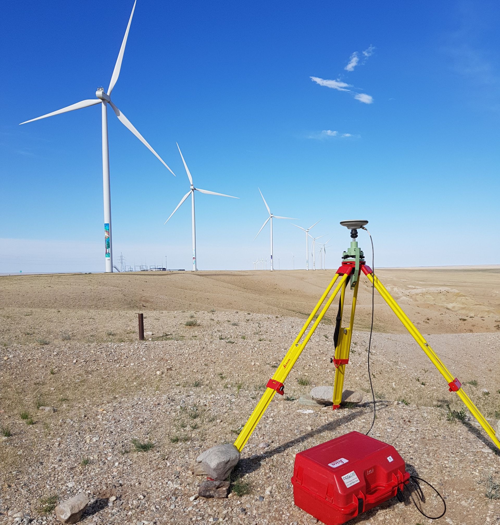
GNSS network
Establishment and adjustment of primary and secondary GPS/GNSS control networks and survey control networks using high-precision GNSS equipment.
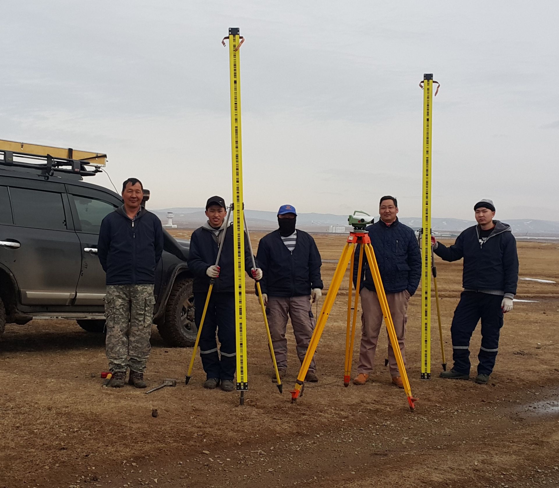
Establishment of a levelling network
We carry out the establishment of levelling networks and perform high-precision levelling surveys in accordance with relevant standards.
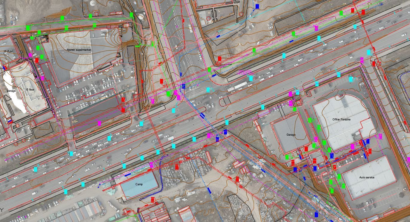
Topographic mapping (1:500–1:10000)
Topographic surveying and mapping for roads, railways, power transmission lines, and other types of infrastructure routes.
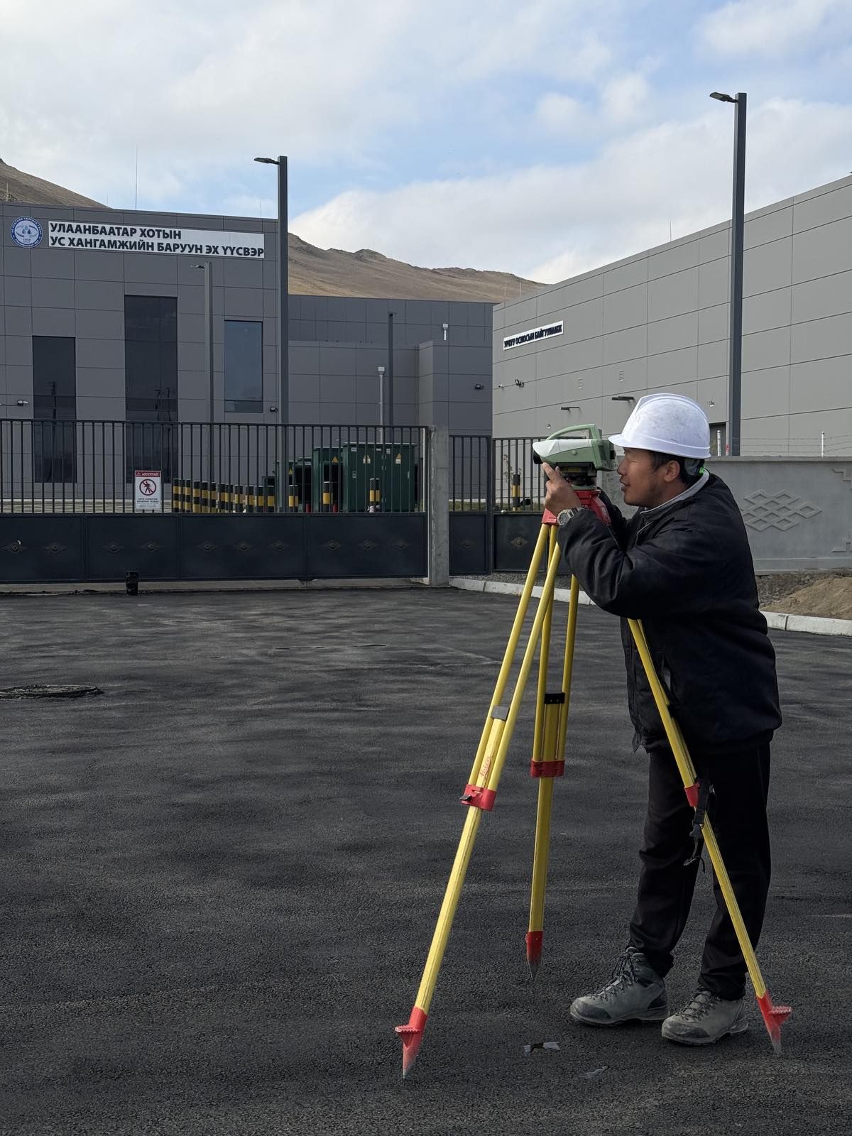
Daily geodetic surveying and monitoring works for projects
Daily geodetic surveying and client supervision services for all types of infrastructure construction works.
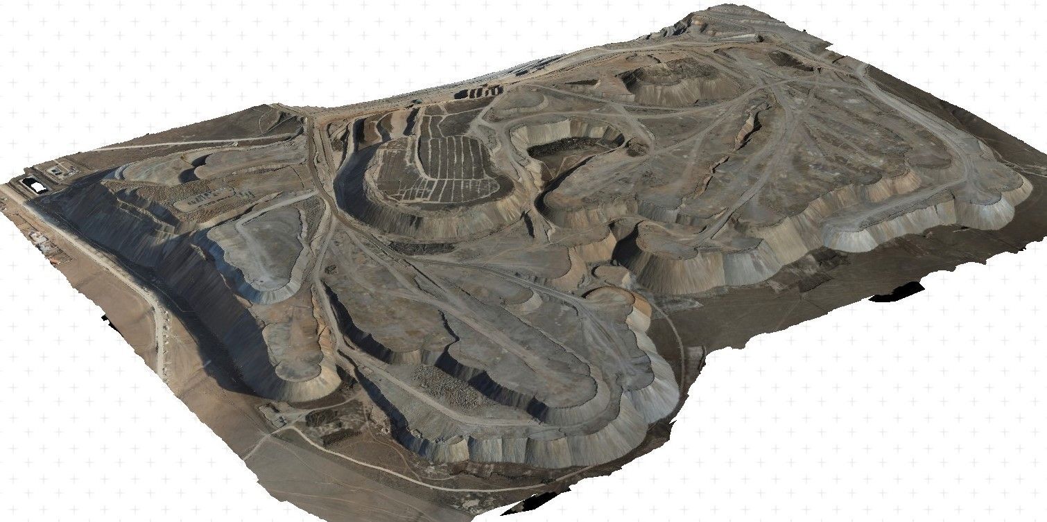
Mine surveying, including mine mapping, survey measurements, and calculations
Topographic mapping at all scales for mining operations, calculation of cut and fill volumes, and generation of 3D models
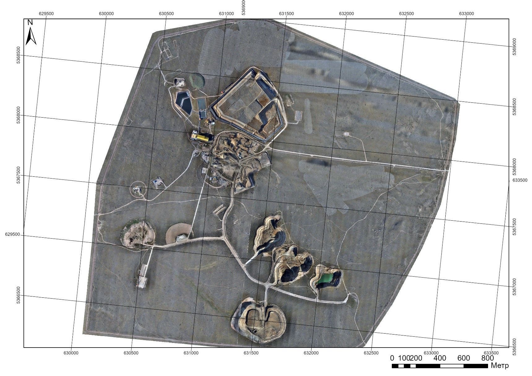
UAV mapping, DEM, Orthomosaic
Aerial data acquisition using unmanned aerial vehicles (UAVs), including the production of orthophotos, digital elevation models (DEM), and processing of 3D data