About
Geocad LLC is a company that provides professional services in the field of geodesy and cartography, supported by a team of highly experienced engineers and technicians.
ЕРӨНХИЙ ТАНИЛЦУУЛГА
.jpeg)
Geocad LLC was established in 2001 and has been delivering a full range of surveying and mapping services in geodesy and cartography at a high professional level.
Our company is supported by a highly skilled team of experienced professionals, including consulting engineers, certified geodetic engineers, senior survey technicians, mine surveyors, and GIS engineers.
We provide geodesy and cartography services across key infrastructure sectors, including mining, construction, roads, railways, and energy, and have successfully delivered numerous projects.
By utilizing modern high-precision equipment and professional software, we are committed to delivering accurate, reliable, and high-quality surveying results.
The mission & Vision

Mission
We utilize advanced technologies to deliver high-precision, reliable data and solutions to our clients, contributing to the quality, efficiency, and safety of their projects.

Vision
To be a reliable partner in providing geodetic and cartographic services in Mongolia’s mining and infrastructure sectors.

Value
Quality and accuracy, Professional ethics, Responsible operations, Innovation, Health and safety
Our Key Projects
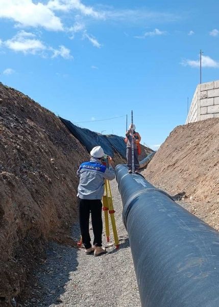
Well Pump House and Conveyance Construction project
We are serving as the general geodetic supervision provider for the construction works of the Well Pump House and Conveyance Construction Package by the Millennium Challenge Account (MCA) of the United States.
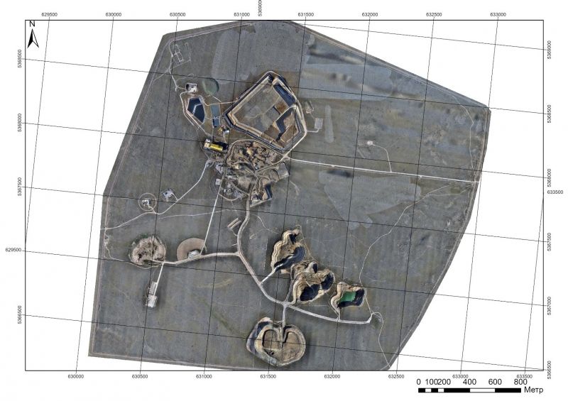
Altan Tsagaan Ovoo project
In September 2024, we completed detailed topographic surveying of the Altan Tsagaan Ovoo project area, including the processing plant site, located in Tsagaan-Ovoo soum, Dornod Province
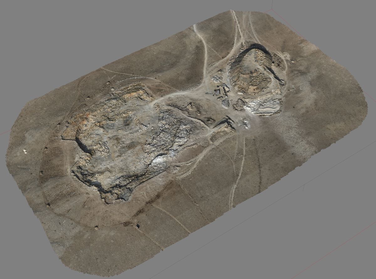
Aerial surveying and stockpile volume calculation
We conducted topographic surveying and calculated cut-and-fill volumes at a local mining site located in Bayantsagaan soum, Tuv Province, using a Matrice 300 RTK unmanned aerial vehicle (UAV
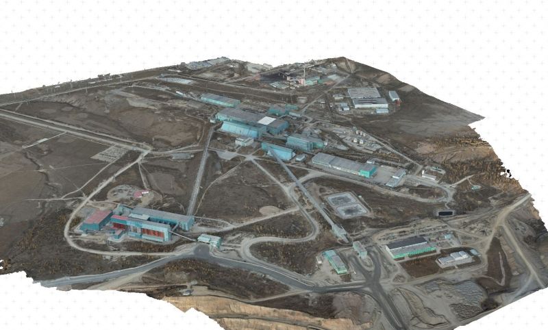
Erdenet Mining Corporation
We carried out aerial surveying of the entire Erdenet Industrial District, including the generation of 3D models, digital elevation models (DEM), and orthophotos.
ХАРИЛЦАГЧ БАЙГУУЛЛАГУУД